Mount Robinson (Viktorialand)
| Mount Robinson | ||
|---|---|---|
|
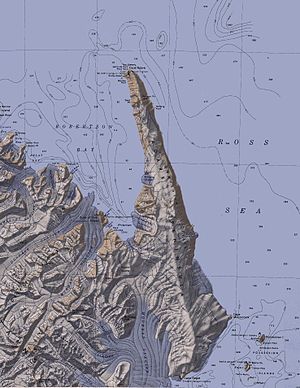
Topographic map with Mount Robinson (left below center) |
||
| height | 2430 m | |
| location | Victoria Land , East Antarctica | |
| Mountains | Admiralty Mountains , Transantarctic Mountains | |
| Coordinates | 71 ° 50 ′ 0 ″ S , 169 ° 49 ′ 0 ″ E | |
|
|
||
Mount Robinson is a 2430 m high mountain in East Antarctic Victoria Land . In the Admiralty Mountains, it rises at the head of the DeAngelo Glacier .
The British polar explorer James Clark Ross discovered him on January 15, 1841 during his Antarctic expedition (1839-1843). Ross named it after the British astronomer Thomas Romney Robinson (1792-1882), one of the most ardent proponents of geomagnetic research in Antarctica and a member of the British Association for the Advancement of Science , which had supported Ross' expedition.
Web links
- Mount Robinson in the Geographic Names Information System of the United States Geological Survey (English)
- Mount Robinson on geographic.org (English)

