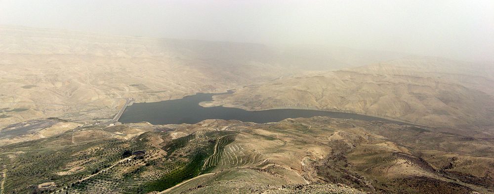
Mujib dam
| Mujib dam | |||||||
|---|---|---|---|---|---|---|---|
|
|||||||
|
|
|||||||
| Coordinates | 31 ° 26 '40 " N , 35 ° 49' 3" E | ||||||
| Data on the structure | |||||||
| Construction time: | 1999-2003 | ||||||
| Height of the barrier structure : | 67 m | ||||||
| Building volume: | 712,590 m³ concrete + 1.3 million m³ rock fill | ||||||
| Crown length: | 764 m | ||||||
| Data on the reservoir | |||||||
| Storage space | 35 × 10 6 m³ | ||||||
| Catchment area | 4,380 km² / annual inflow an average of 24 million m³ / year | ||||||
| Design flood : | 5840 m³ / s | ||||||
The Mujib Dam (also: Wadi-al-Mujib Dam ; Arabic سد الموجب, DMG Sadd al-Mūǧib ) is located in Wadi Mujib about 100 km south of Amman in Jordan . The barrier structure is 67 m high and 764 m long. The middle, 466 m long part of the structure is a gravity dam made of rolled concrete . The two valley flanks consist of a rock embankment .
The flood relief leads over the rolled concrete wall as a stepped chute. The dam was inaugurated on April 12, 2004 by King Abdullah II . It is used for irrigation and is operated by the Jordan Valley Authority in Amman. The project was planned by Lahmeyer International, among others .
The Mujib dam and reservoir as seen from the south
See also
Web links
Commons : Mujib Dam - collection of pictures, videos and audio files
- Lahmeyer information brochure (49-d: pdf) page 12
- Project description on www.lahmeyer.de read on April 7, 2012
- Mujib dam. In: Structurae


