Nanda Pal
| Nanda Pal | ||
|---|---|---|
| height | 6306 m | |
| location | Uttarakhand ( India ) | |
| Mountains | Nanda Devi Group ( Garhwal Himalayas ) | |
| Dominance | 4.03 km → Nanda Gond | |
| Notch height | 600 m | |
| Coordinates | 30 ° 31 '26 " N , 80 ° 8' 36" E | |
|
|
||
| First ascent | June 8, 1973 by the Indian-Tibetan border police | |
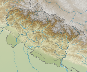
The Nanda Pal is a 6306 meter high mountain in the Garhwal Himalayas in the Indian state of Uttarakhand .
The mountain is located in the eastern part of the Nanda Devi group in the Pithoragarh district . On its western flank, the Milam Glacier flows in a south-easterly direction. Four kilometers north of Nanda Pal is the 6315 m high Nanda Gond on the Chinese border .
The Nanda Pal was first climbed on June 8, 1973 by members of the Indian-Tibetan border police.
