Aukštaitija National Park
| Aukštaitija National Park | ||
|---|---|---|
| Lūšiai lake | ||
|
|
||
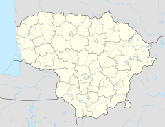
| Location: | Lithuania | |
| Next city: | Ignalina | |
| Surface: | 405.74 km² | |
| Founding: | 1974 | |
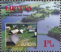
The Aukštaitija National Park is a national park in northeast Lithuania in the lake and forest region of Upper Lithuania . Founded in 1974, it is the oldest national park in the country and dates back to a botanical-zoological reserve that has existed since 1960. Initially the park was called "National Park of the Lithuanian SSR ", in 1991 it was renamed to its current form.
The area is 40,574 hectares, of which 15% is taken up by lakes.
The national park is of enormous importance for tourism.
Web links
Commons : Aukštaitija National Park - collection of pictures, videos and audio files
- Official website of the park in English
- World Database on Protected Areas - Aukštaitija National Park (English)
Individual evidence
- ↑ area specified according to a map "Lietuvos saugomos teritorijos" the nature conservation authority Ministry of the Environment 2006
- ↑ http://www.post.lt/katalogas_en/item_details.php3?item_id=429 ( page no longer available , search in web archives ) Info: The link was automatically marked as defective. Please check the link according to the instructions and then remove this notice. (English; February 28, 2010)


