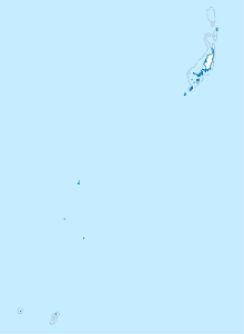
Ngerduais
| Ngerduais | ||
|---|---|---|
| Waters | Pacific Ocean | |
| Archipelago | Carolines | |
| Geographical location | 7 ° 21 ′ N , 134 ° 35 ′ E | |
|
|
||
| Residents | uninhabited | |
Ngerduais (also: Garumetai-tō , Nardueis , Ngarduais , Ngerdways ) is an island in the island state of Palau in the Pacific Ocean .
geography
The island in the area of the administrative state of Airai (i.e. an administrative area ) forms the end of Airai Bay and Ongebard Inlet in the south of Babeldaob and thus the south-east corner of the island. The bay with the islands of Orrak , Ngkesill , Dlebebai , Chesechosou and other small motu opens up to Garreru on the Toachel Mid canal in the west . The island is part of the Oikul Mangrove Conservation Area and is separated from Babeldaob by the Ongebard Inlet and the Taoch ra Klai tidal river. Several hills shape the face of the island: Atotu (N, about 81 m ⊙ ) Auragasak (S, about 43 m ⊙ ) Aiugubishiteli (W, about 63 m ⊙ ). The coastline is characterized by mangroves and the rugged structure of the former reef crown . The island is densely forested and uninhabited. The island is relatively large compared to the other motu in the bay. It stretches from the mainland coast in the north to the fringing reef in the south. The southernmost point is Nardueis Point ( ⊙ ). To the east is the island of Ngerumtoi .
Individual evidence
literature
- Republic of Palau Adventure and Dive Guide. Guide to the undisputed Best Diving in the World. Franko Maps Ltd. 2016.
