Dutch
| Dutch | |||
|---|---|---|---|
| Compass direction | west | east | |
| Pass height | 2629 m above sea level A. | ||
| state | Tyrol | ||
| Valley locations | Sulzenauhütte | Nuremberg Hut | |
| expansion | Alpine route (alpine transition) | ||
| Mountains | Stubai Alps | ||
| Map (Tyrol) | |||
|
|
|||
| Coordinates | 46 ° 59 '39 " N , 11 ° 12' 32" E | ||
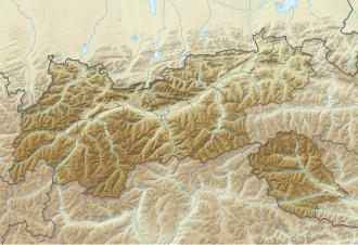
The Niederl is a 2629 m above sea level. A. high transition in the Stubai Alps in Tyrol from the Sulzenauhütte to the Nürnberger Hütte . It lies between the 2781 m high Mairspitze in the north and the 2805 m Urfallspitze in the south.
The path over the Niederl, secured with wire ropes, is part of the Stubai Höhenweg (hut tour). An only slightly longer variant leads over the Mairspitze , which is known as a popular vantage point.
