Nueltin Lake
| Nueltin Lake | ||
|---|---|---|
| Geographical location | Kivalliq region in Nunavut , Manitoba (Canada) | |
| Tributaries | Thlewiaza River | |
| Drain | Thlewiaza River | |
| Data | ||
| Coordinates | 60 ° 30 ′ N , 99 ° 30 ′ W | |
|
|
||
| Altitude above sea level | 278 m | |
| surface | 2 033 km² | |
| length | 144 km | |
| Catchment area | 27,000 km² | |
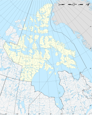
Nueltin Lake is a lake on the border between Nunavut and Manitoba , 250 km west of Hudson Bay , the larger lake area being in Nunavut. Nueltin Lake is split into two parts - a southern and a northern - by a series of narrows . The larger part of the lake is in Nunavut. The lake has a water area of 2033 km² and a total area including islands of 2279 km².
The Thlewiaza River flows through the lake and drains it to Hudson Bay.
Individual evidence
- ↑ a b Natural Resources Canada - The Atlas of Canada - Lakes ( Memento from January 14, 2013 in the Internet Archive )
- ↑ Nueltin Lake ( English, French ) In: The Canadian Encyclopedia . Retrieved August 21, 2016.
- ↑ R-ArcticNet
