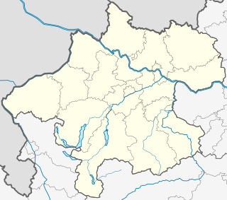
Upper Schießerbach Cave
| Upper Schießerbach Cave
|
||
|---|---|---|
| Location: | Dead Mountains near Bad Ischl , Upper Austria | |
| Height : | 643 m above sea level A. | |
|
Geographic location: |
47 ° 41 '45.4 " N , 13 ° 40' 32.1" E | |
|
|
||
| Cadastral number: | 1616/7 a, b | |
| Geology: | Dachstein Limestone | |
| Overall length: | 182 m | |
| Level difference: | +17 m | |
The Obere Schießerbach Cave (cadastral number 1616/7 a, b) is a cave in the Totes Gebirge in Bad Ischler municipality in Upper Austria. It is located in the Rettenbachtal at 643 m above sea level. A. about 80 meters above the forest road to the Rettenbachalm.
description
The cave has an inconspicuous double entrance, which is located around 40 m above the Lower Schießerbach Cave in a layered joint. The whole cave is traversed by a channel, which comes to the outside via a secondary route a little below the entrance. The numerous vortex pots of the cave, which initially move to the northeast and in the rearmost part to the north-northwest, are up to 1.8 m deep. 25 m before the first siphon, there is a 6 m high, but good-grip wall. There is a fixed rope anchored with bolts to make the ascent easier. This is followed by more siphons that can only be used by cave divers.
Individual evidence
- ↑ Erhard Fritsch: The caves of the Rettenbach valley near Bad Ischl. 1st chapter. In: Apollo. 44, 1976, pp. 4-7 ( PDF (4.3 MB) on ZOBODAT ).

