Ollei
| Ollei | ||
|---|---|---|
|
|
||
| Coordinates | 7 ° 43 ' N , 134 ° 37' E | |
| Basic data | ||
| Country | Palau | |
| ISO 3166-2 | PW | |
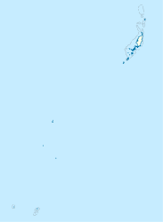
Ollei (also: Chollei ) is a small place with few inhabitants in the area of the administrative state of Ngarchelong (i.e. an administrative area ) of the West Pacific island republic of Palau . It is the northernmost place on the main island of Babelthuap .
geography
The place is on the headland of Ngarchelong, just after the northern tip on the west coast. The hill Bkulaibelau ( 35 m ) protrudes west into the sea and forms a small bay in which the place is located. The place has a marina (Chollei Docks) and one attraction is the Tet El Bad Stone Coffin (Tet El Bad Sarcophagus) made of andesite , which serves as the foundation for the local meeting house. There is a primary school in the village and to the north there is an entrance to the Japanese lighthouse from the Second World War on the hill Cheleos ( ⊙ , 120 m ).
Individual evidence
literature
- Republic of Palau Adventure and Dive Guide. Guide to the undisputed Best Diving in the World. Franko Maps Ltd. 2016.
