Onanisberg
| Onanisberg | ||
|---|---|---|
| Highest peak | 1400 m | |
| location |
Erongo , Namibia |
|
|
|
||
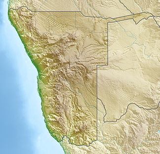
| Coordinates | 22 ° 44 ′ S , 15 ° 38 ′ E | |
| surface | 20 km² | |
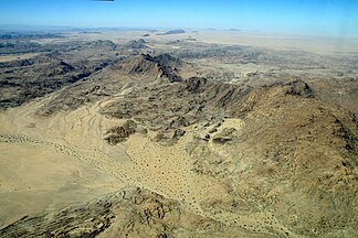
The Onanis is a mountain in the Erongo region in Namibia . The mountain is located on the Onanis farm of the same name .
The mountain has an area of around 20 square kilometers and is 1400 m high. The main road C28 from Windhoek to Swakopmund runs along its southern edge . The Lange Heinrich and the Langer Heinrich uranium mine are located 30 kilometers west of the Onanisberg .
Web links
Commons : Onanisberg - collection of images, videos and audio files
Individual evidence
- ↑ Onanis on Mapcarta.Retrieved November 21, 2018
- ↑ Onanis on Mapcarta , accessed on November 21, 2018

