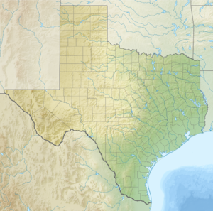
Padre Island
| Padre Island | ||
|---|---|---|
| Sand dunes in the Padre Island National Seashore | ||
| Waters | Gulf of Mexico | |
| Geographical location | 26 ° 50 ′ N , 97 ° 24 ′ W | |
|
|
||
| length | 210 km | |
| width | 2.6 km | |
Padre Island is an island off the coast of Texas . It is the world's longest sand dune island. The island was named after Padre José Nicolás Ballí (177? –1829), who founded the first mission in Cameron County .
Padre Island is around 210 kilometers long and extends from Corpus Christi in the north to South Padre Island in the south. It is separated from the mainland by the Laguna Madre . It is connected to Mustang Island in the north by a road . To the south, the Queen Isabella Causeway ( Texas State Route 100 ) connects to Port Isabel on the mainland. The Brazos Santiago Pass lies between the southern tip of the island and the much smaller Brazos Island peninsula that adjoins it to the south .
The island is sparsely populated. To the south are the parishes of South Padre Island and Port Isabel . In the central part is the Padre Island National Seashore . The island has been divided into two parts since 1964. The artificial channel Port Mansfield Channel separates the island into the North Padre Island and the South Padre Island .

