Park Key
| Park Key | ||
|---|---|---|
| Park Key as a natural dam for US Highway 1, looking east | ||
| Waters |
Gulf of Mexico Atlantic Ocean |
|
| Archipelago | Lower Florida Keys | |
| Geographical location | 24 ° 39 '8 " N , 81 ° 32' 52" W | |
|
|
||
| length | 1.5 km | |
| width | 260 m | |
| surface | 28,531 2 ha | |
| Highest elevation | 1 m | |
| Residents | uninhabited | |
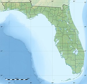
Park Key is a small, uninhabited island in the Lower Florida Keys , 14 miles east of the city of Key West .
The US Highway 1 or the Overseas Highway crossing Park Key at MM 18, between Lower Sugarloaf Key in the west (separated by the North Harris Channel ) and Upper Sugarloaf Key in the east (separated by the Park Sound ), in the middle of Upper Sugarloaf Sound . It serves as a natural dam.
Along Highway 1, the island is 1,500 meters long. Their width varies between 75 and 260 meters and averages 190 meters. The area of the island is exactly 285,312 m², or around 28.5 hectares .

