Sugarloaf Key
| Sugarloaf Key | ||
|---|---|---|
| Waters | Gulf of Mexico | |
| Geographical location | 24 ° 39 ′ N , 81 ° 32 ′ W | |
|
|
||
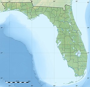
Sugarloaf Key is an island in the Lower Florida Keys . It consists of two parts of the island, Lower Sugarloaf Key and Upper Sugarloaf Key . The island is U-shaped and the Upper Sugarloaf Sound divides the island. Lower Sugarloaf Key is 13 miles from Key West and is between Park Key and the Saddlebunch Keys . Upper Sugarloaf Key is located 15 miles east of Key West, between Park Key and Cudjoe Key . Although it has less land area, Lower Sugarloaf Key is more densely populated than Upper Sugarloaf Key.
The US Highway 1 (or Overseas Highway ) crosses Upper Sugarloaf Key at MM 19-20.5 and Lower Sugarloaf Key at MM 16.5-17.5.
Origin of name
The name Sugarloaf comes either from an Indian mound on the east side of Upper Sugarloaf Key, north of the highway, because of its shape, or from a variety of pineapple that was once harvested on the island.
Attractions
On Lower Sugarloaf Key is the Sugarloaf Key Bat Tower , and on Upper Sugarloaf Key is the Great White Heron National Wildlife Refuge .
Sources and web links
- History of the island on KeyHistory.org

