Pasque Island
| Pasque Island | ||
|---|---|---|
| Geological map from 1898 | ||
| Waters | Atlantic Ocean | |
| Archipelago | Elizabeth Islands | |
| Geographical location | 41 ° 27 ′ N , 70 ° 50 ′ W | |
|
|
||
| length | 2.48 km | |
| width | 1.93 km | |
| surface | 3.45 km² | |
| Residents | 2 | |
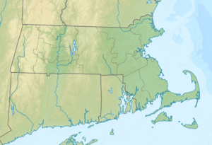
Pasque Island (German Pasqueinsel ) is 3.45 km², the third largest island of the Elizabeth Islands in the US state of Massachusetts . In the United States Census 2000 there were 2 people living on Pasque Island, which corresponds to a population density of 0.57 people per square kilometer.
history
In 1602, the British explorer Bartholomew Gosnold discovered Naushon Island , Cuttyhunk , Nashawena Island and Penikese in addition to Pasque Island . In a newspaper article in the Vineyard Gazette that appeared in December 1933, the newspaper wrote that Pasque Island was for sale. Former island owner James Crosby Brown had died and had not bequeathed the island to anyone.
geography
Pasque Island is bordered by Nashawena Island to the west and Naushon Island to the east. The island is part of the municipality of Gosnold .
literature
- Cuttyhunk and the Elizabeth Islands , Cuttyhunk Historial Society, p. 109, at Google Books → Cuttyhunk and the Elizabeth Islands
Individual evidence
- ↑ factfinder.census.gov (English) . factfinder.census.gov. Retrieved December 10, 2016.
- ↑ Newspaper article from the Vineyard Gazette on the sale of Pasque Island (English)

