Nashawena Island
| Nashawena Island | ||
|---|---|---|
| Geological map from 1898 | ||
| Waters | Atlantic Ocean | |
| Archipelago | Elizabeth Islands | |
| Geographical location | 41 ° 26 ′ N , 70 ° 52 ′ W | |
|
|
||
| length | 3.11 km | |
| width | 2.21 km | |
| surface | 7.076 km² | |
| Highest elevation | Saddleback Hill 24 m |
|
| Residents | 2 | |
Nashawena Island (German Nashwawenainsel ) is the second largest island of the 14 Elizabeth Islands in the US state of Massachusetts . In the United States Census 2000 there were 2 people on Nashawena Island. The island can be reached by boat.
geography
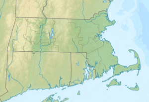
Nashawena Island lies between Cuttyhunk in the east and Pasque Island in the west. The island belongs to the municipality of Gosnold . Nashawena Island is located in Dukes County , whose county seat is Edgartown .
Flora and fauna
The island has Scottish highland cattle , which were probably brought to Nashawena by two Scottish caretakers, red deer and a host of sea and migratory birds. There are rare, almost endangered animals and plants on the island that have only survived because there were hardly any people on the island. The more than 200 year old farm keeps domestic chickens .
Individual evidence
- ↑ a b Nashawena Island (English) . nocarnations.blogspot.de. Retrieved December 10, 2016.
- ↑ Report on Nashawena Island. Retrieved December 10, 2016.

