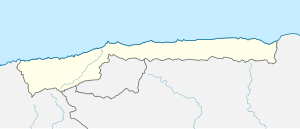
Pico Naiguatá
| Pico Naiguatá | ||
|---|---|---|
| height | 2765 m | |
| location | Vargas , Venezuela | |
| Mountains | Ávila massif | |
| Coordinates | 10 ° 32 '34 " N , 66 ° 46' 57" W | |
|
|
||
| First ascent | 1872 | |
The Pico Naiguatá is with 2765 m the highest mountain of the Venezuelan coastal cordillera . Its summit is 9 km from the city center of the Venezuelan capital Caracas and 8 km from the Caribbean , in the El Ávila National Park . The ascent of the mountain takes place over a 6 hour long hike.
Mountain rainforests and cloud forests are located around the summit. Subparamo in the immediate vicinity
Web links
Commons : Pico Naiguatá - collection of images, videos and audio files

