Pindari glacier
| Pindari glacier | ||
|---|---|---|
| location | Uttarakhand ( India ) | |
| Mountains | Nanda Devi Group ( Garhwal Himalayas ) | |
| Type | Hanging glacier | |
| length | 4.8 km | |
| Exposure | south | |
| Altitude range | 5500 m - 3800 m | |
| Coordinates | 30 ° 16 ′ 51 ″ N , 80 ° 0 ′ 47 ″ E | |
|
|
||
| drainage | Pindar → Alaknanda | |
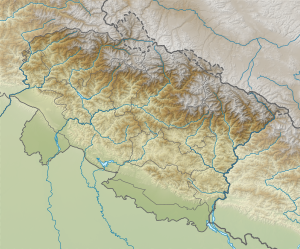
The Pindari Glacier is located in the south of the Nanda Devi Group , a mountain group in the Garhwal Himalayas .
The 4.8 km long, south-flowing hanging glacier is located in the far north of the Bageshwar district in the Indian state of Uttarakhand . It is flanked by the peaks Changuch ( 6322 m ) in the east and Nanda Khat ( 6611 m ) in the west, which are separated from each other by a 5270 m high pass. The glacier reaches down to a height of 3800 m . The Pindari Glacier is the origin of the Pindar River , which flows southwest to the Alaknanda .
There are trekking offered for glacier tours.
Web links
Commons : Pindari Glacier - collection of images, videos and audio files

