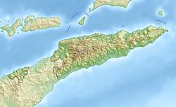
Ponta Deilubun
|
Ponta Deilubun, Ponta Beaco |
||
| Geographical location | ||
|
|
||
| Coordinates | 8 ° 57 ′ S , 126 ° 27 ′ E | |
| coast | South Timor Coast | |
| Waters | Timor Sea | |
 Map of the municipality of Viqueque with the Ponta Deilubun |
||
The Ponta Deilubun (also Ponta Beaco ) forms the southernmost point of the East Timorese Sucos Maluru ( Viqueque administrative office , Viqueque municipality ). To the west the Beaco joins the Timor Sea , a little further to the west is the place Beaco .
Individual evidence
- ↑ Ministry of State Administration and Territorial Management : Map of the Viqueque Administrative Office ( Memento of the original from January 10, 2017 in the Internet Archive ) Info: The archive link has been inserted automatically and has not yet been checked. Please check the original and archive link according to the instructions and then remove this notice. , accessed March 8, 2017.
- ↑ Map of East Timor ( Memento of the original from July 12, 2015 in the Internet Archive ) Info: The archive link was inserted automatically and has not yet been checked. Please check the original and archive link according to the instructions and then remove this notice.
