Popiwka (Konotop)
| Popiwka (Konotop) | ||
| Попівка | ||

|
|
|
| Basic data | ||
|---|---|---|
| Oblast : | Sumy Oblast | |
| Rajon : | Rajon Konotop | |
| Height : | 134 m | |
| Area : | Information is missing | |
| Residents : | 4,345 (2004) | |
| Postcodes : | 41627 | |
| Area code : | +380 5447 | |
| Geographic location : | 51 ° 14 ' N , 33 ° 7' E | |
| KOATUU : | 5922086601 | |
| Administrative structure : | Village | |
| Address: | вул. Ілліча 1 41627 с. Попівка |
|
| Statistical information | ||
|
|
||
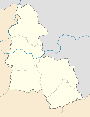
Popiwka ( Ukrainian Попівка ; Russian Поповка Popowka ) is a village in the western part of the Ukrainian Sumy Oblast with about 4,300 inhabitants (2004).
Popiwka is the administrative center of the district council of the same name in Konotop district , to which the villages Selyschtsche ( Селище ⊙ ) with about 30 inhabitants and Tulushka ( Тулушка ⊙ ) with about 540 inhabitants.
Popiwka lies on the bank of the Kukolka , a 31 km long tributary of the Seim and borders in the east on the urban area of the district center Konotop , the city center of which is 8 km east of the village. The regional road P-61 runs north of Popivka . The Oblastzentrum Sumy is located 133 km southeast of the village.
Individual evidence
- ^ Website of the village on the website of the Verkhovna Rada , accessed on August 17, 2017 (Ukrainian)

