Probsthainer Spitzberg
| Probsthainer Spitzberg | ||
|---|---|---|
| height | 501 m npm | |
| location | Lower Silesia , Poland | |
| Mountains | Bober-Katzbach Mountains | |
| Coordinates | 51 ° 3 '22 " N , 15 ° 45' 48" E | |
|
|
||
| Type | Shield volcano | |
| rock | Volcanites | |
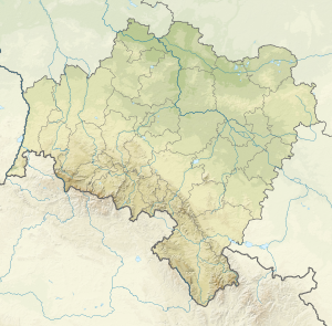
The Probsthainer Spitzberg ( Polish Ostrzyca ) with a height of 501 m in the western foothills of the Bober-Katzbach Mountains in Silesia . Due to its distinctive conical shape, the Probsthainer Spitzberg is also called Silesian Fuji .
location
The mountain is located in the southwestern part of the Pogérze Kaczawskie in the powiat Goldberg ( Powiat Złotoryjski ), municipality Pilgramsdorf ( Pielgrzymka ), about 2.5 km southwest of the eponymous village Probsthain ( Proboszczéw ).
geology
The mountain is an extinct shield volcano . With quite steep slopes and a clearly pointed apex, the surrounding plateau rises alone in the central-western part and differs significantly from the flat landscape. The ascent leads through a diverse geological structure made of volcanic rocks with unique basalt rubble deposits. In the summit region there are picturesque rock formations, a few hundred basalt steps lead to the summit. On the lower slopes, solifluctions overlap , and at the base there are glacial deposits and fluvioglacial sediments .
The Probsthainer nature reserve ( Proboszczowicka ) with an area of 3.81 hectares was designated on the top of the hill above 450 m above sea level .
history
- In 1926 a protected area was set up in German times.
- In 1944 the uprising of the German army was of strategic importance. The slopes of the hill were reinforced with a series of trenches, and to clear the apron
- In 1959, the archaeological work on Spitzberg found traces of early medieval settlements
Hiking trails
The hiking trails lead through the area:
- green marking - stage of the Piast Castle Trail ( Szlak Zamków Piastowskich ) from Lähn ( Wleń ) to Gröditzburg ( Zamek Grodziec ).
- yellow marking - stage of the path of the extinct volcanoes ( Szlak Wygasłych Wulkanów ) leads from Moisdorf ( Myślibórz ) to Goldberg ( Złotoryja )
- red marking - path from Höfel ( Dworkek ) to the Spitzberg
Individual evidence
- ↑ Richard Deis: Mountain of Fate and Heavenly Eye: 777 epithets of mountains, valleys, islands, rivers and lakes . ( [1] ).
- ^ Probsthainer Spitzberg - extinct volcano. Retrieved September 25, 2019 .

