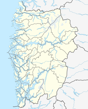
Røldalsvatnet
| Røldalsvatnet | ||
|---|---|---|

|
||
| View of the Røldalsvatnet | ||
| Geographical location | Ullensvang ( Vestland ) | |
| Drain | to Suldalsvatnet | |
| Data | ||
| Coordinates | 59 ° 47 ′ 42 " N , 6 ° 46 ′ 31" E | |
|
|
||
| Altitude above sea level | 380 moh. | |
| surface | 6.99 km² | |
| scope | 20.64 km | |
Røldalsvatnet is the name of a lake in Norway . It is located in the municipality of Ullensvang ( Vestland ). The European route 134 and the Riksvei 13 run on the west side of the lake. Røldal stave church is located north of the lake .
