R4D Nunatak
| R4D Nunatak | ||
|---|---|---|
|
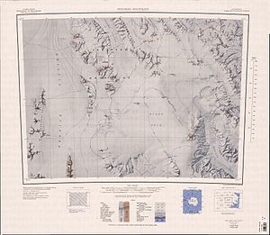
Topographic map of the Monument Nunatakker (left) with the R4D Nunatak |
||
| height | 1980 m | |
| location | Victoria Land , East Antarctica | |
| Mountains | Monument-Nunatakker , Transantarctic Mountains | |
| Coordinates | 72 ° 44 ′ 0 ″ S , 162 ° 21 ′ 0 ″ E | |
|
|
||
The R4D Nunatak is a 1980 m high nunatak in East Antarctic Victoria Land . It rises 3 km east of the Burkett Nunatak at the southeast end of the Monument Nunatakker .
The northern group of a campaign carried out from 1962 to 1963 as part of the New Zealand Geological Survey Antarctic Expedition made the name. It is named after an R4D Dakota aircraft that the United States Navy used to provide logistical support for the Northern Group from Scott Base .
Web links
- R4D Nunatak in the Geographic Names Information System of the United States Geological Survey (English)
- R4D Nunatak on geographic.org (English)

