Rakiura National Park
| Rakiura National Park | ||
|---|---|---|
| Rakiura track | ||
|
|
||
| Location: | New Zealand | |
| Specialty: | southernmost part of New Zealand | |
| Surface: | 1570 km² | |
| Founding: | March 9, 2002 | |
| Address: | Stewart Island Visitor Center PO Box 3 Halfmoon Bay Stewart Island Tel. 64 3 219 0002 |
|
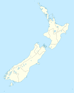
The Rakiura National Park (English Rakiura National Park ) is New Zealand's southernmost national park . It is located on the barely inhabited Stewart Island , which is off the New Zealand South Island . Established on March 9, 2002, Rakiura National Park is the youngest of New Zealand's 14 parks.
geography
With a size of 157,000 hectares of land, the national park covers around 85% of the entire island of Stewart Island. At high altitudes, the park reaches from sea level up to 981 m . The national park is only about 30 km off the coast of the New Zealand "mainland" and is characterized by its very own natural landscape. One of the reasons for this is that the Foveaux Strait, which separates the island from the rest of the country, with its often stormy weather and cold, choppy water means a strong isolation (" Roaring Forties "). The island often experiences bad weather fronts breaking in from the Southern Ocean and is therefore only suitable as a habitat for species that are adapted to such climatic conditions.
The Rakiura Track hiking trail leads through the national park .
description
The Rakiura National Park has a high conservation value not only because the island has been spared major human interference due to its peripheral location, but also because of the great variety of landscapes on a relatively small area. There are rocky cliffs on the west coast, which are interrupted by sandy beaches, while the east side of the island is strongly divided by three sea bays, some of which protrude deep into the island. The north and south of the island are also very different; they are separated by the Freshwater Valley . In the interior of the national park there are extensive swamp areas as well as forest areas next to mountains that rise up to almost 1000 meters. Rakiura is the habitat of numerous indigenous bird species, including endemic and those that are extinct or greatly decimated on New Zealand's main islands, such as the kakapo ( Strigops habroptilus ), a nocturnal, flightless parrot.
"Rakiura" means "the land of the glowing skies" in the Māori language , which refers to the aurora borealis and the spectacular sunsets.
In Oban / Halfmoon Bay, the only inhabited place on the island, there is a visitor center with information about the park and its nature. There are 245 km of hiking trails and some huts for hiking tours lasting several days.
See also
literature
- Helga Neubauer: Rakiura National Park . In: The New Zealand Book . 1st edition. NZ Visitor Publications , Nelson 2003, ISBN 1-877339-00-8 , pp. 865 .
Web links
- Rakiura National Park . Department of Conservation ,accessed September 7, 2014.


