Ransarn
| Ransarn | ||
|---|---|---|

|
||
| The Ransarn (in the upper part of the picture) | ||
| Geographical location | Lapland , Sweden | |
| Drain | Ångermanälven | |
| Location close to the shore | Vilhelmina | |
| Data | ||
| Coordinates | 65 ° 15 ′ N , 15 ° 1 ′ E | |
|
|
||
| Altitude above sea level | 584 m above sea level | |
| surface | 28.3 km² | |
| length | 11 km | |
| width | 5 km | |
| volume | 444,000,000 m³ | |
| scope | 39.9 km | |
| Maximum depth | 59.7 m | |
| Middle deep | 21.1 m | |
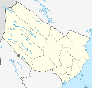
Ransarn is a lake in the municipality of Vilhelmina in Västerbotten County in the Swedish historical province of Lapland . It is located at an altitude of 584 m above sea level. and is 28.3 km². The as Ransarelva from Norway coming Ransarån feeds the lake for Kultsjön and thus to Ångermanälven drained.
There is no settlement worth mentioning on the lake, which is around 11 long and up to 5 km wide. There is also no road leading to the lake; the closest access option ends at Gikasjön a few kilometers further south. The southern tip of the lake is touched by the Marsfjällen nature reserve .
Individual evidence
- ↑ [1]
- ↑ Sverige vägatlas, Norstedts, Stockholm, 2014, ISBN 978-91-1305683-8
- ↑ Sverige vägatlas, Norstedts, Stockholm, 2014, ISBN 978-91-1305683-8
- ↑ a b c Sjödjup och sjövolym (712.6 kB; PDF) , Svenskt vattenarkiv (SVAR), Sveriges meteorologiska och hydrologiska institut (Swedish)
