Rehoboth Beach
|
|
This article was on the basis of substantive defects quality assurance side of the project USA entered. Help bring the quality of this article to an acceptable level and take part in the discussion ! A closer description on the resolving issues is missing. |
| Rehoboth Beach | ||
|---|---|---|
 Promenade |
||
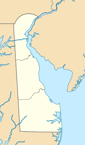
| Location in Delaware | ||
|
|
||
| Basic data | ||
| Foundation : | 1873 | |
| State : | United States | |
| State : | Delaware | |
| County : | Sussex County | |
| Coordinates : | 38 ° 43 ′ N , 75 ° 5 ′ W | |
| Time zone : | Eastern ( UTC − 5 / −4 ) | |
| Residents : | 1,327 (as of 2010) | |
| Population density : | 428.1 inhabitants per km 2 | |
| Area : | 4.1 km 2 (approx. 2 mi 2 ) of which 3.1 km 2 (approx. 1 mi 2 ) are land |
|
| Height : | 0 m | |
| Area code : | +1 302 | |
| FIPS : | 10-60290 | |
| GNIS ID : | 214535 | |
| Website : | www.cityofrehoboth.com | |
| Mayor : | Samuel R. Cooper | |
Rehoboth Beach (also Rehoboth ) is a beach town on the Atlantic coast in Sussex County in the US state of Delaware , United States . The geographical coordinates are: 38.72 ° North, 75.08 ° West. The urban area has a size of 4.3 km². The city is located on the Delmarva Peninsula .
The number of permanent residents is 1327 (census status: 2010), but in summer this swells to over 25,000 in the urban area and many times that in the surrounding area.
The place goes back to the founding of a Christian beach camp. The Rehoboth Beach Camp Meeting Association of the Methodist Episcopal Church was founded on January 27, 1873 to organize summer religious meetings. It was named after the neighboring Rehoboth Bay , which was named by English explorers in the 17th century. The name 'Rehoboth' appears in several places in the Bible. Starting with the first wooden buildings, the place grew rapidly. After a railway connection took place in 1878, the religious aspect took a back seat to the increasing number of beach holidaymakers.
Web links
- Rehoboth Beach , article in "delawareonline.com"
Individual evidence
- ^ US Geological Survey . Geographic Names Phase I data compilation (1976-1981). 31-Dec-1981. Primarily from US Geological Survey 1: 24,000-scale topographic maps (or 1: 25K, Puerto Rico 1: 20K) and from US Board on Geographic Names files. In some instances, from 1: 62,500 scale or 1: 250,000 scale maps
- ^ Rehoboth Beach. (No longer available online.) Delawareonline.com, December 18, 2006, archived from the original on December 3, 2015 ; Retrieved August 30, 2013 . Info: The archive link was inserted automatically and has not yet been checked. Please check the original and archive link according to the instructions and then remove this notice.
- ^ Rehoboth Beach Historical Society: Rehoboth Beach's Historic Past . In: Rehoboth Beach Main Street (Ed.): Rehoboth Beach Main Street's Official Guide to Rehoboth Beach . 2013, p. 2 .
- ^ Rehoboth Beach Early History. Retrieved August 30, 2013 .

