Ringwall Weißler Höhe
| Ringwall Weißler Höhe | ||
|---|---|---|
|
Modern routing crosses the faintly visible outer wall |
||
| Alternative name (s): | Stone head | |
| Castle type : | Hilltop castle | |
| Conservation status: | Burgstall | |
| Place: | Katzenelnbogen - Oberfischbach | |
| Geographical location | 50 ° 15 '13.7 " N , 7 ° 55' 50.8" E | |
| Height: | 456 m above sea level NN | |
|
|
||
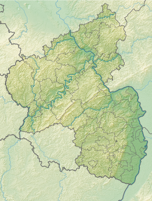
The Weißler Höhe ring wall is a defunct rampart, located in the Rhineland-Palatinate part of the Taunus on the Weißler Höhe , about 3.5 kilometers southwest of Katzenelnbogen and 1.5 kilometers west of Oberfischbach . The remains are only faintly visible in the area and stand out as a stony earth step with a maximum height of 1.0 meters. It can be assumed that the ramparts were used as a quarry and were thus destroyed, among other things, by the construction of roads.
The rampart itself was located here on the hilltop, which slopes gently on all sides. It had a double, oval wall system. The inner wall was about 50 meters long and up to 17 meters wide, the outer 100 meters and up to 83 meters wide. The large number of masonry remains suggests dry masonry. No statements can be made about the function of the system or its dating, as no more in-depth research has taken place here.
The ring wall ring wall is very close, only about 1.0 kilometers to the southwest.
Monument protection
The castle stable of the ramparts is a ground monument according to the Rhineland-Palatinate Monument Protection Act. Investigations and targeted collection of finds are subject to approval, and accidental finds are reported to the monument authorities.
literature
- Karl August von Cohausen , Die Wallburgen, Landwehr u. old entrenchments of the administrative district Wiesbaden In: Nassauische Annalen 15 , Nr. 18

