Robertson Glacier (Antarctica)
| Robertson Glacier | ||
|---|---|---|
|
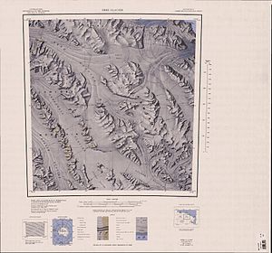
Topographic map with the Robertson Glacier (top left) |
||
| location | Victoria Land , East Antarctica | |
| Mountains | Anare Mountains , Transantarctic Mountains | |
| Coordinates | 71 ° 3 ' S , 165 ° 23' E | |
|
|
||
| drainage | Ebb glacier | |
The Robertson Glacier is a glacier in the north of the East Antarctic Victoria Land . In the Anare Mountains it flows south to the Ebbe Glacier , which it reaches east of Springtail Bluff .
The United States Geological Survey mapped it based on its own measurements and aerial photographs of the United States Navy from 1960 to 1963. The Advisory Committee on Antarctic Names named it in 1970 after John W. Robertson, aerial photographer of the VX-6 flight squadron at McMurdo Station on two Antarctic summer campaigns between 1967 and 1969.
Web links
- Robertson Glacier in the Geographic Names Information System of the United States Geological Survey (English)
- Robertson Glacier on geographic.org (English)

