Ruoni
| Ruoni | ||
|---|---|---|
|
Ruoni (left) and Lopchin |
||
| height | 6882 m | |
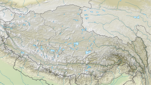
| location | Tibet ( China ) | |
| Mountains | Kangri Garpo | |
| Dominance | 163.73 km → Sanglung | |
| Notch height | 2444 m ↓ (4438 m) | |
| Coordinates | 29 ° 10 '0 " N , 96 ° 43' 24" E | |
|
|
||
| First ascent | unclimbed | |
The Ruoni ( Chinese 若 尼 峰 , Pinyin Ruò Ní Fēng ; also Bairiga ( Chinese 白日 嘎 , Pinyin Bái Rì Gä ) or Chombo ) is at 6,882 m the highest mountain in Kangri Garpo in the east of the Tibet Autonomous Region .
The mountain is located on the border of the two districts Bomê and Zayü . He has not yet been climbed. The 6703 m high Lopchin (also Kangri Garpo II or Ruoni II ) is 4.9 km northwest. The Ata Glacier initially flows north from the north side of the Ruoni, but then turns to the east.
Ascent history
In October 2003 a Japanese expedition tried to climb the Ruoni. Bad weather prevented the group of climbers from climbing.
The neighboring mountain Lopchin was first climbed on November 5, 2009 by two Tibetans who were members of a Sino-Japanese expedition.
Web links
- Bairiga, China on Peakbagger.com (English)

