Saganaga Lake
| Saganaga Lake | ||
|---|---|---|

|
||
| Geographical location |
Rainy River and Thunder Bay District in Ontario (Canada), Minnesota (USA) |
|
| Tributaries | Granite River | |
| Drain | to Saganagons Lake | |
| Places on the shore | Saganaga Lake | |
| Location close to the shore | Grand Marais | |
| Data | ||
| Coordinates | 48 ° 14 '47 " N , 90 ° 54' 43" W | |
|
|
||
| Altitude above sea level | 434 m | |
| surface | 56 km² | |
| Maximum depth | 85 m | |
The Saganaga Lake is a lake on the American-Canadian border.
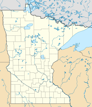
Saganaga Lake is partly in Minnesota and partly in Ontario . On the Canadian side it is within the La Verendrye and Quetico Provincial Parks , on the American side it is in the Boundary Waters Canoe Area Wilderness .
Saganaga Lake has an area of 56 km². It lies at an altitude of 434 m and has a maximum water depth of 85 m. At the western end of Saganaga Lake, the water leaves the lake via the Silver Falls to Saganagons Lake in the north, which is drained by the Maligne River , a tributary of Lac la Croix .
Saganaga Lake is a popular destination for anglers and canoeists. The fish fauna includes eyeglasses , black bass and pike .
