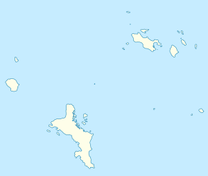
Sainte Anne (island)
| Sainte Anne | ||
|---|---|---|
| Aerial view, Mahé in the background | ||
| Waters | Indian Ocean | |
| Archipelago | Seychelles | |
| Geographical location | 4 ° 36 ′ 19 ″ S , 55 ° 30 ′ 13 ″ E | |
|
|
||
| length | 2.1 km | |
| width | 1.7 km | |
| surface | 2.19 km² | |
| Highest elevation | 246 m | |
Sainte Anne is a 2.19 square kilometer island in the Seychelles in the Indian Ocean .
Sainte Anne was reached in 1742 by the French explorer Lazare Picault as the first European. In 1770 a settlement was established.
The island, which is mainly composed of tropical rainforest, measures at its highest point 246 meters above sea level. The privately owned Sainte Anne is 4 kilometers off the northeast coast of the main island of Mahé and the capital Victoria and 2 kilometers north of the Île au Cerf and has four beaches:
- Grande Anse (in the southwest)
- Royal Beach, this is the beach where sea turtles lay their eggs from late November to February
- Turtle Beach
- Anse Manon
The luxury hotel Saint Anne Resort with 87 villas has been located at the southwest end of the island since 2002 .
Sainte Anne is the largest of the six islands belonging to the Sainte Anne Marine National Park and, like them, belongs to the Mont Fleuri district .
Sainte Anne should not be confused with the Baie Sainte Anne administrative district on the Seychelles island of Praslin .

