San Gorgonio Pass Wind Farm
| San Gorgonio Pass Wind Farm | |||
|---|---|---|---|
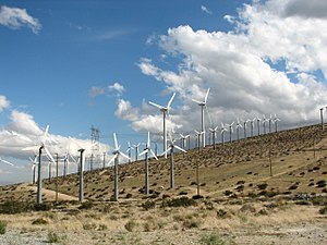
| The wind farm in March 2006 | |||
| location | |||
|
|
|||
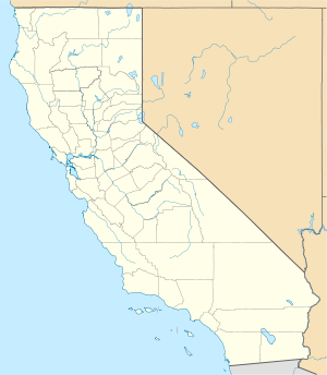
| Coordinates | 33 ° 54 ′ 0 ″ N , 116 ° 35 ′ 0 ″ W | ||
| country |
|
||
| Data | |||
| Type | Wind farm | ||
| Primary energy | Wind energy | ||
| power | 615 MW | ||
| Project start | 1980s (start of construction) | ||
The San Gorgonio Pass Wind Farm ( German wind farm at San Gorgonio Pass ) is a wind farm on the eastern slopes of the San Gorgonio Pass in Riverside County east of the census-designated place Whitewater in US California with a capacity of 615 MW . The wind farm was developed in the 1980s . Along with the Altamont Pass Wind Farm and the Tehachapi Pass Wind Farm, it is one of the largest wind farms in California.
Technical details
Since January 2008, the 51.79 km² wind farm has consisted of 3,218 wind turbines with an output of 615 MW. A 46.500- volts -Leitung crosses the wind park on the northern 3302 m high San Jacinto Peak . The line connects the Los Angeles metropolitan area with the Palo Verde nuclear power plant . The wind farm is proving efficient as the warm desert air and cooler coastal air reach wind speeds of 15-20 mph .


