Sanjay Sarovar Dam
| Sanjay Sarovar Upper Wainganga |
|||||||||
|---|---|---|---|---|---|---|---|---|---|
|
|||||||||
|
|
|||||||||
| Coordinates | 22 ° 22 '51 " N , 79 ° 39' 20" E | ||||||||
| Data on the structure | |||||||||
| Lock type: | Earthfill dam | ||||||||
| Construction time: | 1972-1998 | ||||||||
| Height of the barrier structure : | 42.67 m | ||||||||
| Crown length: | 3 871 m | ||||||||
| Power plant output: | 3.45 MW | ||||||||
| Data on the reservoir | |||||||||
| Altitude (at congestion destination ) | 519.38 m | ||||||||
| Water surface | 55.36 km² | ||||||||
| Storage space | 507 million m³ | ||||||||
| Catchment area | 2 008 km² | ||||||||
| Design flood : | 16 648 m³ / s | ||||||||
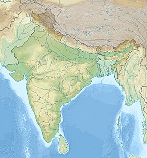
The Sanjay Sarovar Dam (formerly called Upper Wainganga Project) is a dam on the Wainganga near Bhimgarh and Chhapara in the state of Madhya Pradesh in India. It was built from 1972 to 1998 and is used for irrigation in the Seoni and Balaghat districts. Electric power is also generated here (3450 kW).
The shut-off consists of a Erdschüttdamm with parts of a dam made of masonry with a maximum height of 42.67 m and a length of m 3871st
The normal water level of the 55.36 km² reservoir is 519.38 m above sea level. The storage space is 507 million cubic meters, 410 million of which is usable space. The flood relief has ten openings with radial closures. Its upper edge is 508.71 m, its capacity is 16,648 m³ / s.
The catchment area is 2008 km² and the annual average rainfall is 1225 mm.
See also
- List of the largest dams on earth
- List of the largest reservoirs on earth
- List of the largest hydroelectric plants in the world
- List of dams in the world
Web links
- UPPER WAINGANGA - MAJOR PROJECT accessed January 5, 2012
- Seoni District: Some Tourist Attraction. Bhimgarh Sanjay Sarovar Dam accessed on January 5, 2012
- Major Water Resources Development Projects in the Godavari Basin accessed January 5, 2012
