Santa Maria de Ipire
| Santa Maria de Ipire | ||
|---|---|---|
|
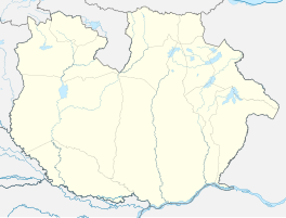
Coordinates: 8 ° 49 ′ N , 65 ° 19 ′ W Santa María de Ipire on the map of Guárico
|
||
| Basic data | ||
| Country | Venezuela | |
| State | Guárico | |
| Municipio | Santa Maria de Ipire | |
| City foundation | April 4, 1747 | |
| Detailed data | ||
| Time zone | UTC -4: 30 | |
| City Presidency | Guillermo Cedeño (2013-2017) | |
Santa María de Ipire is a village in the Guárico state in Venezuela . Santa María de Ipire is the administrative center of the Santa María de Ipire district .
Santa María de Ipire was founded on April 4, 1747. The estimated population for the village and the surrounding area for 2010 is around 19646.
The village is connected by the national road 15 with El Socorro and Valle de la Pascua in Guárico and with El Tigre in Anzóategui.
In the area there are oil fields of the Junín zone of the Orinoco belt.
Individual evidence
- ↑ Inhabitants ( Memento of the original from November 28, 2011 in the Internet Archive ) Info: The archive link was inserted automatically and has not yet been checked. Please check the original and archive link according to the instructions and then remove this notice.
- ↑ Ipire Oil Fields
