Schoenberg group
| Schoenberg group | ||
|---|---|---|
|
Schönberg north side |
||
| Highest peak | Schönberg ( 2093 m above sea level ) | |
| location | Upper Austria , Styria | |
| part of | Dead Mountains , Northern Limestone Alps | |
|
|
||
| Coordinates | 47 ° 42 '45 " N , 13 ° 47' 35" E | |
| Type | Limestone karst stock | |
| rock | Dachstein Limestone | |
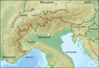
The Schönberg Group is the westernmost section of the Dead Mountains and part of the Northern Limestone Alps . The Schönberg is 2093 m above sea level. A. the eponymous main summit. In the west the Schönberg group is bounded by the Trauntal. In the east, a geologically determined deep depression forms the border to the central tidal group . This tectonic fault, known as the Wildensee line, runs from the Altausseer See over the Hochklapfsattel to the Wildensee and on over the Rinnerboden to the Offensee .
Important valley locations are Bad Ischl , Bad Goisern and Altaussee .
summit
| summit | Altitude [m above sea level] A.] |
|---|---|
| Schoenberg | 2093 |
| Rinnerkogel | 2012 |
| Browning tines | 1899 |
| High scrap | 1839 |
| Loser | 1837 |
Tourism and development
The group belongs to the Salzkammergut region . Ski areas are at Loser in Altaussee .
literature
- Gisbert Rabeder: Alpine Club Leader Dead Mountains. For hikers, mountaineers and climbers, Bergverlag Rudolf Rother , June 2005, ISBN 3-7633-1244-7 .

