Battle of the Kampinos Heath
Gdansk - Westerplatte - Tucheler Heide - Krojanten - Mlawa - Radom - Wizna - Bzura - Brześć - Lemberg - Rawa Ruska - Lublin - Kampinos Heath - Warsaw - Szack - Modlin - Hel Peninsula - Kock
Coordinates: 52 ° 16 ′ 28.2 " N , 20 ° 27 ′ 25.8" E
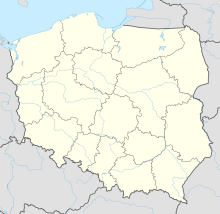
The battle in the Kampinos Heide between the Polish army and the German Wehrmacht took place during the Second World War in the extensive forest areas around the Polish town of Kampinos northwest of Warsaw , which are known as Kampinos Heide (see Kampinos National Park ).
The heavy fighting took place between September 9 and 20, 1939. Remnants of Polish formations broke out of the Kutno pocket and tried to join Polish formations in the Warsaw and Modlin area . German associations tried to prevent this. For this purpose, the German troops carried out attacks from the north and south into the extensive forest area. After heavy fighting, some of the Polish troops were able to break through the German ring of enclosure near Wólka Węglowa and withdraw towards the Vistula with heavy losses .
literature
- Apoloniusz Zawilski : Bitwy polskiego września. Wydawnictwo Znak, Krakaz 2009, ISBN 978-83-240-1214-5 , pp. 297-306.

