Serra de Monfurado
| Serra de Monfurado | ||
|---|---|---|
| Highest peak | Serra de Monfurado ( 424 m ) | |
| location | Évora , Portugal , separating mountains between the Tagus and Sado rivers | |
|
|
||
| Coordinates | 38 ° 32 ′ N , 8 ° 9 ′ W | |
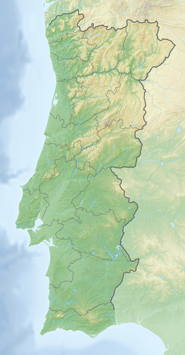
The Serra de Monfurado is a mountain range in Portugal , with a maximum height of 424 meters and an extension of approx. 20 kilometers in the east-west and approx. 15 km in the north-south. The mountains are located in the Évora district , in the Montemor-o-Novo district, and form the divide between the Tejo and Sado rivers .
The mountains are the result of a tectonic deformation and its subsequent erosion. The Serra de Monfurado rises approx. 150 to 200 m above the high plateau in which it is embedded.
At the end of the 19th century and the beginning of the 20th century, mining was practiced in the Mina de Nogueirinha . The tunnels, cuttings, rubble hills and galleries from back then can still be seen today. Old building remains and a disused railway connection also belong to this complex.
Another peculiarity of the mountains are caves (Gruta do Escoural), the origin of which is traced back to iron ore mining under the Romans (Mina dos Monges).
The Serra de Monfurado is a protected area for many plants and animals to be protected. There you can see bats of the species Myotis and Rhinolophus , which have settled in the caves of the mountains. In the flora of the mountains, in addition to wild olive trees, there are also various types of wild Portuguese oak, Quercus faginea .
In addition to countless Antas with the “Vale Maria do Meio”, de Cromlech and Menhir from Almendres, the menhir pair from San Sebastião and the Cromlech from Portela de Mogos, the largest concentration of menhirs and statue menhirs on the Iberian Peninsula are located here .
Web links
- DINIZ, Mariana. "O Sítio da Valada do Mato (Évora): aspectos da neolitização no Interior / Sul de Portugal" , Instituto Português de Arqueologia (Portuguese; PDF file)
- OLIVEIRA, Catarina. "Entroncamento de Minas, Caminhos-de-ferro e Escola" . Porto Alegre: Episteme , 2005. Número 20, suplemento especial, Janeiro-Junho. (Portuguese; PDF file; 199 kB)

