Shute Harbor
| Shute Harbor | |||||
|---|---|---|---|---|---|

|
|||||
|
|||||
|
|||||
|
|||||
|
|||||
|
|
|||||
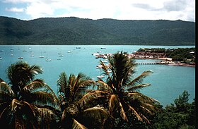
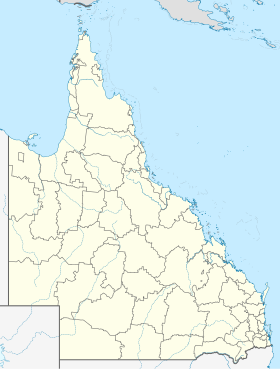
Shute Harbor is a place in the Australian state of Queensland with 122 inhabitants. It is located about 10 kilometers east of Airlie Beach at the end of Shute Harbor Road and is in the local administrative area (LGA) Whitsunday Region . The small village is the main port of departure for ships to the Whitsunday Islands or to the lesser-known Lindeman Islands National Park . A bus service connects the village with the Airlie Beach tourist center in around 15 minutes.
Individual evidence
- ↑ a b Australian Bureau of Statistics : Shute Harbor ( English ) In: 2016 Census QuickStats . June 27, 2017. Retrieved April 15, 2020.
