South Manitou Island
| South Manitou Island | ||
|---|---|---|
| Lighthouse on South Manitou Island, built in 1871 | ||
| Waters | Lake Michigan | |
| Archipelago | Manitou Islands | |
| Geographical location | 45 ° 1 '40 " N , 86 ° 7' 10" W | |
|
|
||
| surface | 21.44 km² | |
| Highest elevation | 186 m | |
| Residents | uninhabited | |
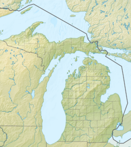
| Map of South Manitou Island | ||
South Manitou Island is an island in Lake Michigan , about 16 miles west of Leland , Michigan . The island belongs to Leelanau County and is part of the Sleeping Bear Dunes National Lakeshore . The uninhabited island has an area of 21.44 km² and can be reached by ferry from Leland. The larger North Manitou Island is north of the island.
South Manitou Island served many merchant ships as a stopover on their route from Chicago to the Straits of Mackinac in the 19th and 20th centuries . The South Manitou Island Light , which was in operation between 1871 and 1958, marks the best natural harbor on this route. The lighthouse is still in good condition. After restoration work, the lighthouse will be operational again in the summer months.
The island's climate favored the cultivation of rye , beans and peas . Ultimately, however, the island was too remote to bring the harvested fruits to market. South Manitou Island is now uninhabited, and most of the residential buildings from then have fallen into disrepair.
In 1901 the United States Life-Saving Service (USLSS) established a station on the island. The USLSS became part of the United States Coast Guard in 1915 . The station now serves as a ranger station and is not open to the public.
The island measures just under 5 km by 5 km. On the west bank of the island, the sand dunes are at a higher level. Florence Lake is the only lake on the island. There is a network of trails and camping facilities. Guided tours in "open-air vehicles" are possible. Otherwise, visitors move around the island on foot.
The eastern part of the island is dominated by a large round bay. This bay is deep until just before the beach. Time and again, it offers ships protection from severe weather and storms. In the southwest of South Manitou Island there is a group of thujas , which are among the oldest and largest in the world. The largest is 5.5 meters in circumference and is estimated to be over 500 years old.
The Manitou Islands are surrounded by over 50 known shipwrecks.


