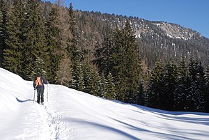
Steyreck
| Steyreck | ||
|---|---|---|
|
View from Bloßboden to the Steyreck |
||
| height | 1592 m above sea level A. | |
| location | Upper Austria , Austria | |
| Mountains | Sengsengebirge , Upper Austrian Prealps | |
| Coordinates | 47 ° 45 '48 " N , 14 ° 23' 21" E | |
|
|
||
| rock | Wetterstein lime | |
The Steyreck is with a height of 1592 m above sea level. A. the easternmost elevation of the Sengsengebirge . To the east the summit drops steeply to the Krummen Steyrling and to the southeast with the flat frost wall. The western flank is gently sloping and wooded. The ice chapel (cat. No. 1651/3) is located in the east slope. The Steyreck is hardly visited by tourists, although it offers a beautiful panoramic view of the surrounding area. Only unmarked trails lead to the summit, for example from the Mayralm and over the Steyreckböden or over the Rumplmayrreith through the eastern flank.
literature
- Wolfgang Heitzmann, Otto Harant: Upper Austrian Pre-Alps. A ÖAV guide through the mountains south of Linz, Wels and Steyr. 3. Edition. Ennsthaler Verlag, Steyr 1996.

