Storuman (lake)
| Storuman | ||
|---|---|---|

|
||
| Storuman, view from Stenseleberget | ||
| Geographical location | Lapland , Sweden | |
| Tributaries | Ume älv | |
| Drain | Ume älv | |
| Places on the shore | Storuman | |
| Data | ||
| Coordinates | 65 ° 13 ' N , 16 ° 53' E | |
|
|
||
| Altitude above sea level | 351.5 m above sea level | |
| surface | 170.72 km² | |
| length | 53 km | |
| width | 6 km | |
| volume | 4.185 km³ | |
| Maximum depth | 122.5 m | |
| Middle deep | 25.6 m | |
| Catchment area | 8530 km² | |
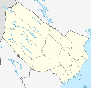
Lake Storuman is located in the historic Swedish province of Lapland, northwest of Storuman . It is 170 km² and has a maximum depth of 122.5 meters. The Umeälven flows through the lake . The lake is also the largest hydropower magazine on the river with an adjustable height of 7 meters. At its southern end is the place Storuman.
The lake consists of two clearly distinguishable parts. The north-western part, about 30 kilometers long, is narrow and winding and is surrounded by mountain slopes that are 400 to 500 meters high. There are areas up to 112 meters deep with a width of just 500 meters. The south-eastern part is up to 6 kilometers wide and has a poorly indented shore zone. In this area the environment is flat and there are sandy peninsulas.
Individual evidence
- ↑ Sjöareal och sjöhöjd (3.32 MB; PDF) , Svenskt vattenarkiv (SVAR), Sveriges meteorologiska och hydrologiska institut (Swedish)
- ↑ a b Länskartor , the official Swedish map service
- ↑ a b c Sjödjup och sjövolym (712.6 kB; PDF) , Svenskt vattenarkiv (SVAR), Sveriges meteorologiska och hydrologiska institut (Swedish)
- ↑ VattenWeb , Sveriges meteorologiska och hydrologiska institut (Swedish)
