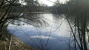
Streitberger Weiher
| Streitberger Weiher | ||
|---|---|---|

|
||
| Streitberger Weiher | ||
| Geographical location | Bavaria , Germany | |
| Places on the shore | Streitberg | |
| Location close to the shore | Eichendorf , Eberfing , Antdorf , Iffeldorf | |
| Data | ||
| Coordinates | 47 ° 47 '2 " N , 11 ° 16' 4" E | |
|
|
||
| Altitude above sea level | 665 m | |
| surface | 6.39 ha | |
| length | approx. 500 m | |
| width | approx. 160 m | |
| scope | 1.39 km | |
The Streitberger Weiher is an artificial water bodies in the district woman Rain the municipality Antdorf south of the already for district Arnried , community Eberfing belonging hamlet Streitberg . Its north bank forms the municipal boundary. It drains to the northwest into another small pond, which used to be part of the Streitberger Weiher, and this in turn drains into a nameless ditch, which later joins other ditches near the hamlet of Tradfranz , ultimately seeping into a depression.
