Stryj (river)
|
Stryj Стрий |
||
| Data | ||
| location | Lviv Oblast ( Ukraine ) | |
| River system | Dniester | |
| Drain over | Dniester → Black Sea | |
| Headwaters |
Forest Carpathians 48 ° 55 ′ 57 ″ N , 23 ° 8 ′ 15 ″ E |
|
| muzzle |
Dniester coordinates: 49 ° 23 '49 " N , 24 ° 12' 36" E 49 ° 23 '49 " N , 24 ° 12' 36" E
|
|
| length | 232 km | |
| Catchment area | 3055 km² | |
| Outflow location: 17 km above the mouth |
MQ |
45.2 m³ / s |
| Left tributaries | Jablunka | |
| Right tributaries | Opir , Kruschelnyzja | |
| Medium-sized cities | Stryj | |
| Small towns | Skole , Turka , Schydachiv | |
|
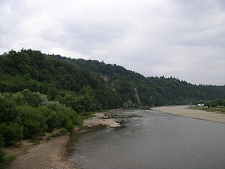
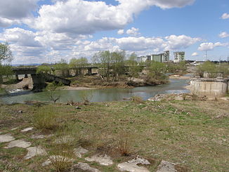
The Stryj in the city of Stryj |
||
|
Stryi and Upper Dniester |
||
The Stryj ( Ukrainian Стрий ) is a right tributary of the Dniester .
The Ukrainian city of the same name, Stryj, lies on its banks . The Stryj rises in the Forest Carpathians . In the delta of the rivers Stryj and Opir is the "natsional'ny park Skolivs'ki Beskydy" (near Skole ). Then the river flows through the city of the same name Stryj and continues through Schydachiv . Shortly afterwards the Stryj flows into the Dniester .
The length of the Stryj is about 232 km. The river has a catchment area of around 3055 km². The mean discharge 17 km above the mouth is 45.2 m³ / s. During floods, the Stryj reaches discharges of up to 890 m³ / s.
Web links
Commons : Stryj - collection of images, videos and audio files


