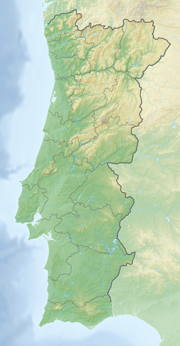
Freixeirinha dam
| Freixeirinha dam | |||||
|---|---|---|---|---|---|
|
|||||
|
|
|||||
| Coordinates | 38 ° 45 ′ 41 ″ N , 8 ° 18 ′ 12 ″ W | ||||
| Data on the structure | |||||
| Construction time: | 1987 to 1995 | ||||
| Height above foundation level : | 37 m | ||||
| Height of the structure crown: | 137 m | ||||
| Building volume: | 330,000 m³ | ||||
| Crown length: | 356 m | ||||
| Crown width: | 9 m | ||||
| Data on the reservoir | |||||
| Altitude (at congestion destination ) | 134 m | ||||
| Storage space | 6.2 million m³ | ||||
| Total storage space : | 6.7 million m³ | ||||
| Design flood : | 220 m³ / s | ||||
The Freixeirinha dam ( Portuguese Barragem de Freixeirinha ) is located in the Alentejo region of Portugal in the Évora district . It dams the Freixeirinha , a left (southern) tributary of the Sorraia, to a reservoir. The municipality of Lavre is about five kilometers northwest of the dam.
The project to build the dam began in 1987. The construction was completed in 1995. The dam is used for irrigation. It is owned by the Junta de Agricultores Regantes de Lavre .
Barrier structure
The barrier structure is a dam with a height of 37 m above the foundation level . The crest of the dam is at a height of 137 m above sea level . The length of the dam crest is 356 m and its width 9 m. The volume of the dam is 330,000 m³.
The dam has both a bottom outlet and a flood relief . A maximum of 107 m³ / s can be discharged via the flood relief. The design flood is 220 m³ / s; the probability of this event occurring has been determined to be once in 500 years.
Reservoir
With a normal storage target of 134 m (maximum 135.5 m at high water), the reservoir holds 6.7 million m³ of water - 6.2 million m³ of this can be used.
See also
Individual evidence
- ↑ a b c d FREIXEIRINHA DAM. APA Barragens de Portugal, accessed January 4, 2015 .
