Tanch'on
| Tanch'on | |||
|---|---|---|---|
| Korean alphabet : | 단천 시 | ||
| Chinese characters : | 端 川 市 | ||
| Revised Romanization : | Dancheon-si | ||
| McCune-Reischauer : | Tanch'on-si | ||
| Basic data | |||
| Province : | Hamgyŏng-namdo | ||
| Coordinates : | 40 ° 27 ' N , 128 ° 55' E | ||
| Surface: | 2,170 km² | ||
| Residents: | 345,876 (as of 2008) | ||
| Population density : | 159 inhabitants per km² | ||
| Structure: | 39 boroughs, 39 villages | ||
| map | |||
|
|||
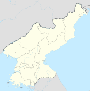
Tanch'ŏn-shi ( 단천 ; 端 川 市 ) is a port city in Hamgyŏng-namdo Province in North Korea . It has 345,875 inhabitants (as of 2008), 162,491 of whom lived in urban regions. Tanch'ŏn borders the Sea of Japan , into which the Namdae River flows.
climate
The Köppen-Geiger climate classification system classifies the climate as a humid continental climate (Dfa). The annual average temperature is 8.8 degrees.
economy
There are extensive mineral resources in the region, including cobalt, magnesite and iron ore. The city is known for its chemical production, textiles, metal goods and machinery.
The city is also home to the Tanch'ŏn power plant and a hydropower plant, which has been under construction since 2017.
Infrastructure
Tanch'ŏn is on the P'yŏngra Line and the Hŏch'ŏn Line of the Korean State Railways . In 2012, the city's port was renovated and upgraded, and a completion ceremony was held in December 2012.
Labor camp
Re-education camp No. 77 is located near Tanch'ŏn and housed 6,000 inmates in 2012.
Individual evidence
- ↑ 2008 Census of Population of DPR Korea (PDF file; 1.4 MB), Central Bureau of Statistics (English).
- ↑ Tanchon climate: Average Temperature, weather by month, Tanchon water temperature - Climate-Data.org. Retrieved March 15, 2020 .
- ↑ The Hidden Gulag - Exposing Crimes against Humanity in North Korea's Vast Prison System (pp. 105-106) . In: The Committee for Human Rights in North Korea . September 14, 2012.
