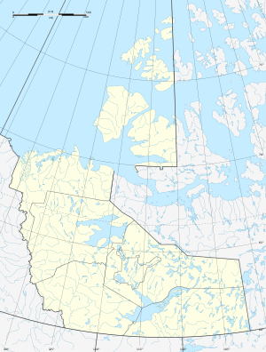
Tathlina Lake
| Tathlina Lake | ||
|---|---|---|
| Geographical location | Northwest Territories (Canada) | |
| Tributaries | Kakisa River , Cameron River | |
| Drain | Kakisa River | |
| Islands | no | |
| Location close to the shore | Hay River , Fort Providence | |
| Data | ||
| Coordinates | 60 ° 33 ′ N , 117 ° 32 ′ W | |
|
|
||
| Altitude above sea level | 280 m | |
| surface | 573 km² | |
| length | 43 km | |
| width | 27 km | |
| Middle deep | 1 m | |
Tathlina Lake is a 573 km² shallow lake 60 km southwest of Great Slave Lake in the Northwest Territories of Canada .
The Kakisa River flows into the lake from the west and leaves it north to the neighboring Kakisa Lake and on to the Mackenzie River . Another tributary is the Cameron River , which drains the area south of the lake and flows into the lake on the eastern south bank.
This cloudy lake is the fifteenth largest lake in the Northwest Territories. It lies at an altitude of 269 m and has an average depth of only 1 m. Because of its shallow water depth, the lake shows strong fluctuations in terms of water level, water temperature, ice thickness and dissolved oxygen. These changed environmental conditions have already led to fish deaths .
Commercial fishing for eyeglasses began in 1953. However, there were very low catches in the 1960s to 1990s. Commercial fishing on the lake was stopped in 2000.
Individual evidence
- ↑ The Atlas of Canada - Lakes ( Memento from January 14, 2013 in the Internet Archive ) (English)
- ↑ Fisheries and Oceans Canada (PDF; 202 kB)
- ^ Canadian Science Advisory Secretariat - CSAS


