Thomas track
| Thomas track | ||
|---|---|---|
|
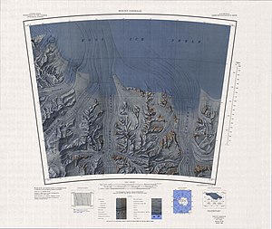
Topographic map (1: 250,000) with the Thomas Spur (bottom left) |
||
| location | Ross Dependency , Antarctica | |
| Mountains | Queen Maud Mountains in the Transantarctic Mountains | |
| Coordinates | 85 ° 53 ′ 0 ″ S , 161 ° 40 ′ 0 ″ W | |
|
|
||
The Thomas Spur is a prominent rock spur in the Antarctic Ross Dependency . In the Queen Maud Mountains, it extends eastward from the Rawson Plateau between the Moffett and Tate glaciers .
The United States Geological Survey mapped it based on its own surveys and aerial photographs of the United States Navy from 1960 to 1964. The Advisory Committee on Antarctic Names named it in 1967 after Harry F. Thomas, a meteorologist at the Amundsen-Scott South Pole Station in the Antarctic winter 1960.
Web links
- Thomas Spur in the Geographic Names Information System of the United States Geological Survey (English)
- Thomas Spur on geographic.org (English)

