
Tiruchengode
| Tiruchengode திருச்செங்கோடு |
|||
|---|---|---|---|
|
|||
| State : |
|
||
| State : | Tamil Nadu | ||
| District : | Namakkal | ||
| Sub-district : | Tiruchengode | ||
| Location : | 11 ° 23 ' N , 77 ° 54' E | ||
| Residents : | 95,335 (2011) | ||

Tiruchengode ( Tamil : திருச்செங்கோடு Tirucceṅkōṭu [ ˈt̪irɯt͡ʃeŋɡoːɖɯ ], also Thiruchengode, Tiruchengodu ) is a city in the Indian state of Tamil Nadu . The population is around 95,000 (2011 census).
location
Tiruchengode is located in the Namakkal district in the Kongu Nadu region in western Tamil Nadu. The next larger cities are Erode around 20 kilometers to the west, Namakkal 35 kilometers to the southeast and Salem 50 kilometers to the northeast. The distance to Chennai , the capital of Tamil Nadu, is around 400 kilometers. Tiruchengode is the capital of the Taluk (sub-district) Tiruchengode in the Namakkal district.
population
According to the 2011 Indian census, Tiruchengode has 95,335 inhabitants. 96 percent of the population are Hindus , Muslims (3 percent) and Christians (1 percent) are only small minorities. As in all of Tamil Nadu, the main language is Tamil, which is spoken by 92 percent of the population as their mother tongue. There are also minorities of speakers of Telugu (6 percent) and Urdu (2 percent).
Attractions

The name Tiruchengode means "holy ( tiru ) red hill" in the local Tamil language and refers to the mountain at whose feet the town of Tiruchengode lies. The 586 meter high mountain made of reddish rock rises around 300 meters above the city. At its summit stands an important Hindu temple , which is dedicated to the god Shiva as Ardhanarishvara ("the Lord who is half a woman"). A path with around 1200 steps leads from the city to the north entrance of the Ardhanarishvara Temple. Inside the temple there is next to the main shrine, in which Shiva in his androgynous form as Ardhanarishvara, also an important sanctuary of the god Murugan (Subrahmanya). Another temple dedicated to Shiva, the Kailasanatha Temple, is located at the foot of the mountain in the city center. Both temples come in their current form from the Chola period and were built in the 17th and 18th centuries. Century expanded. The Ardhanarishvara Temple was sung in the 7th century in the Tevaram hymns of the poet saint Sambandar . It is therefore one of the 274 holy places of Tamil Shaivism ( Padal Petra Sthalams ).
Web links
Individual evidence
- ^ Census of India 2011.
- ^ Census of India 2011: C-1 Population By Religious Community. Tamil Nadu.
- ↑ Census of India 2011: C-16 Population By Mother Tongue - Town Level. Tamil Nadu.
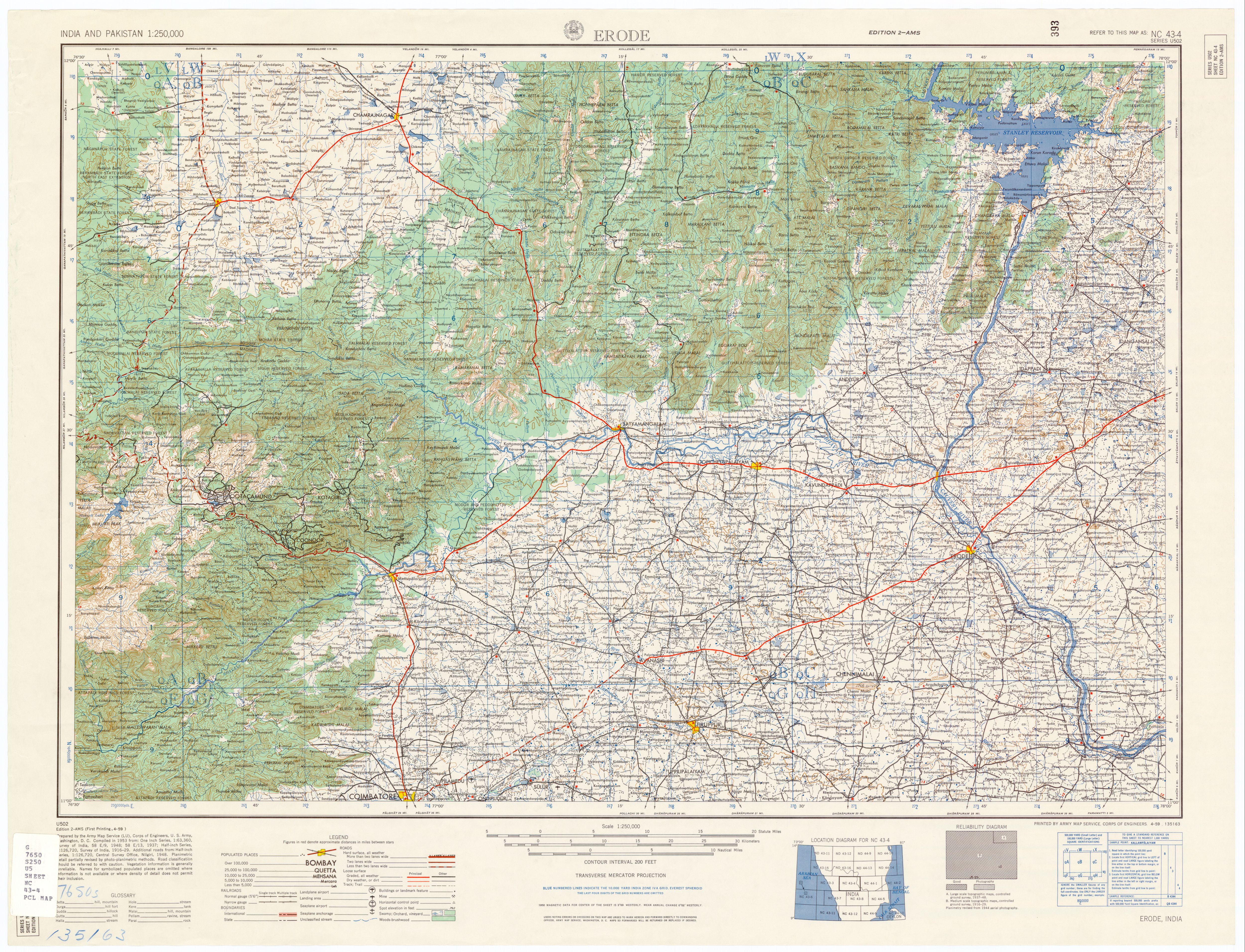
- ↑ See the altitude of 1923 feet in the map India and Pakistan 1: 250,000, Series U502, US Army Map Service, 1955-, sheet NC 43-4 Erode .
- ↑ George Michell: Southern India. A Guide to Monuments, Sites & Museums, New Delhi: Roli Books, 2013, pp. 474–475.
- ↑ Entry "koṭimāṭac ceṅkuṉṟūr (கொடிமாடச் செங்குன்றூர்)" in VM Subramanya Aiyar, Jean-Luc Chevillard, SAS Sarma: Digital Tēvāram. Kaṇiṉit Tēvāram, Indologie Collection n ° 103, Institut Français de Pondichéry / École française d'Extrême-Orient, 2007. ( Memento of the original from April 5, 2016 in the Internet Archive ) Info: The archive link was inserted automatically and has not yet been checked. Please check the original and archive link according to the instructions and then remove this notice.