Top Springs
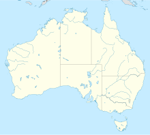
Location of Top Springs in the Northern Territory
[[Category: Location in Northern Territory ]]
Top Springs is a settlement in the Northern Territory , Australia . In the middle of the village is the junction of Buchanan Highway and Buntine Highway . The place is 291 kilometers south of Katherine and is surrounded by many large cattle ranches, including Killarney Station north of the place.
In 2016, the Top Springs area had 152 people, 36% of whom were Aboriginal . Ngarinyman, a dialect of the Gurindji language (language family Pama – Nyungan , see also Australian languages ), is spoken by around 17% of the population. Top Springs itself is little more than a gas station and a roadhouse with three residents.
Individual evidence
↑ a b Australian Bureau of Statistics : Top Springs English ) In: 2016 Census QuickStats . June 27, 2017. Retrieved April 5, 2020.
↑ Postcode list . Retrieved December 8, 2015.
↑ Top Springs Hotel website . Retrieved December 1, 2015.
↑ a b Australian Bureau of Statistics : Victoria River English ) In: 2016 Census QuickStats . June 27, 2017. Retrieved April 5, 2020.
<img src="https://de.wikipedia.org//de.wikipedia.org/wiki/Special:CentralAutoLogin/start?type=1x1" alt="" title="" width="1" height="1" style="border: none; position: absolute;">

