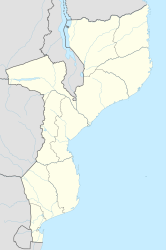
Ulongué
| Ulongué | ||
|---|---|---|
|
|
||
| Coordinates | 14 ° 42 ′ S , 34 ° 21 ′ E | |
| Basic data | ||
| Country | Mozambique | |
| Tete | ||
| District | Angonia | |
| ISO 3166-2 | MZ-T | |
Ulongué (also Ulongwe ) is a municipality in the Tete Province in Mozambique. Until the independence of Mozambique the village was called Vila Coutinho .
geography
The city is the administrative seat of the Angónia district and is close to the border with Malawi.
population
Ulongué has a population of around 27,697 (2012 estimate).
Economy and Infrastructure
Ulongué has an airport.
