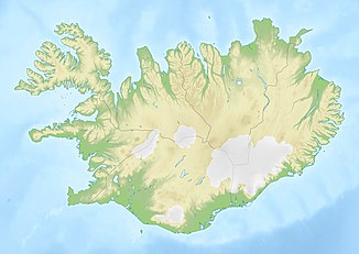
Vígabjargsfoss
| Vígabjargsfoss | ||
|---|---|---|
|
The Vígabjargsfoss |
||
| Coordinates | 65 ° 53 '9.3 " N , 16 ° 26' 39.1" W | |
|
|
||
| place | Kópasker , Reykjahlíð , Iceland | |
| height | 3 m | |
| flow | Jökulsá á Fjöllum → Öxarfjörður | |
The Vígabjargsfoss is named after a waterfall and from the height more like a rapids of the Jökulsá á Fjöllum in the northeast of Iceland .
The difference in height is 3 meters. Only upstream are waterfalls such as the Réttar , Hafragils , Detti and Selfoss . Except for the latter, they are part of the Vatnajökull National Park .
You can reach Vígabjargsfoss from the west side via Dettifossvegur (road 862) and further on via Tungnavegur (road 887).
The rock Vígabjarg is about 200 m to the east. Translated from Icelandic , this is the Bluttatfelsen.
See also
Individual evidence
- ^ Iceland Road Guide, 1988, p. 336
- ↑ Vígabjargsfoss, Vigabergsfoss. Retrieved November 1, 2017 .

